Jezero crater ↔ Rosamond Dry Lake, California
Terrain analog pilot for Jezero crater; radar comparison not completed. candidate window identified by this search.
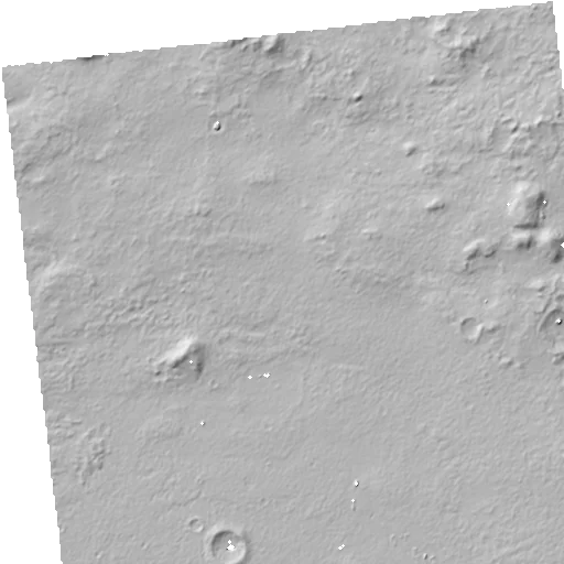
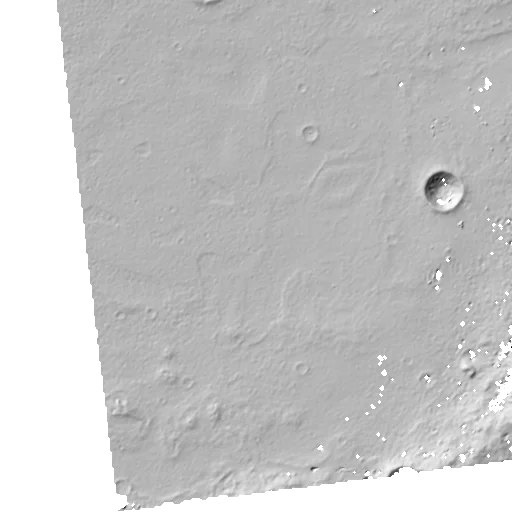
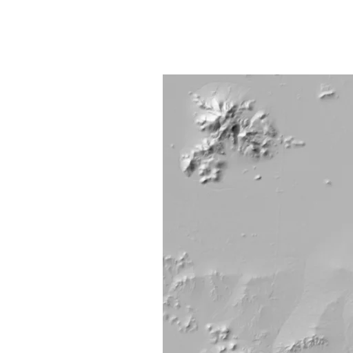
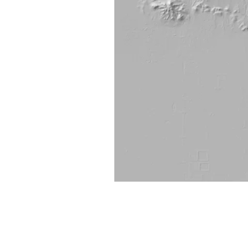
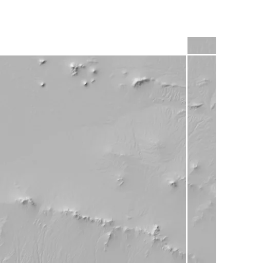
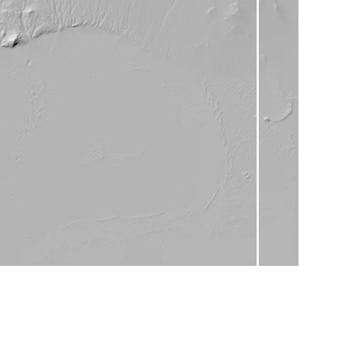
Derived Computed from named observations by a documented transformation Bundle hillshade tiles (45° altitude, 315° azimuth); the outline marks each 5 km analysis window.
Terrain relief
Derived Computed from named observations by a documented transformation0.09389RMS of log nu
Closer than 91% of background windows
Terrain texture
Derived Computed from named observations by a documented transformation0.04006RMS of log nu
Closer than 98% of background windows
How to read this
Each distance compares the two windows in its own units; lower is more similar. Families are never summed or ranked together.
Not compared on this card: Radar CPR (radar unavailable for body), Model embedding (encoder not evaluated).
Assumed: this Earth window could help investigate how surfaces with comparable supported descriptors (terrain_relief, terrain_texture) behave, as a candidate window identified by this search for the Mars target. It is an interpretation to test, not a measured result.
Proposed, not yet carried out: survey a surface patch in this Earth window with a clast-size and coverage distribution, material and moisture notes, and calibrated radar observations under controlled geometry. Dimensions and sampling would be chosen for the sensor and site; none of these measurements has been made.
- candidate window identified by this search; not a proven analog
- Copernicus GLO-30 heights are a digital surface model including vegetation and buildings, referenced to EGM2008 (PRD 5)
- Mars target: terrain only, radar unavailable for this body
- the encoder is EXPERIMENTAL and not used in any ranking
- WorldCover v200 2021 land-cover mask, nearest class at 90 m centres (ANA-05 default)
- No published elevation-error clone set exists for this target's DTM, so measurement error is Unavailable and no tie is claimed; scenario ranks come from mask and region filters only.
- Mars targets are compared on terrain only; no radar product is used.
- Mode C: radar comparison not completed. The radar inputs were not qualified within the pilot, so no radar distance or radar signature is part of this card.
- The encoder is EXPERIMENTAL (G5 FAIL) and takes no part in any ranking; its distance, if shown, is Predicted.
- Field confirmation is future work; similarity here does not establish block sizes, soil strength, buried structure or low-gravity mobility (PRD 3).


Earth window earth-utm11n-e157-n1546 (rosamond-dry-lake; EPSG:32611, UTM zone 11N) compared with the Mars target window mars-jezero-d12-031871-x2-y9 of Jezero crater (azimuthal equidistant on the Mars sphere (product CRS)), each a 5000 m window on a 90 m analysis grid. Mode C.
Target mars-jezero-d12-031871-x2-y9
aeqd_sphere · 5 vertices
Full CRS
+proj=aeqd +lat_0=18.514266816886714 +lon_0=77.8178193626033 +R=3396190.0
Earth earth-utm11n-e157-n1546
utm · EPSG:32611 · zone 11N · 5 vertices
Full CRS
EPSG:32611